
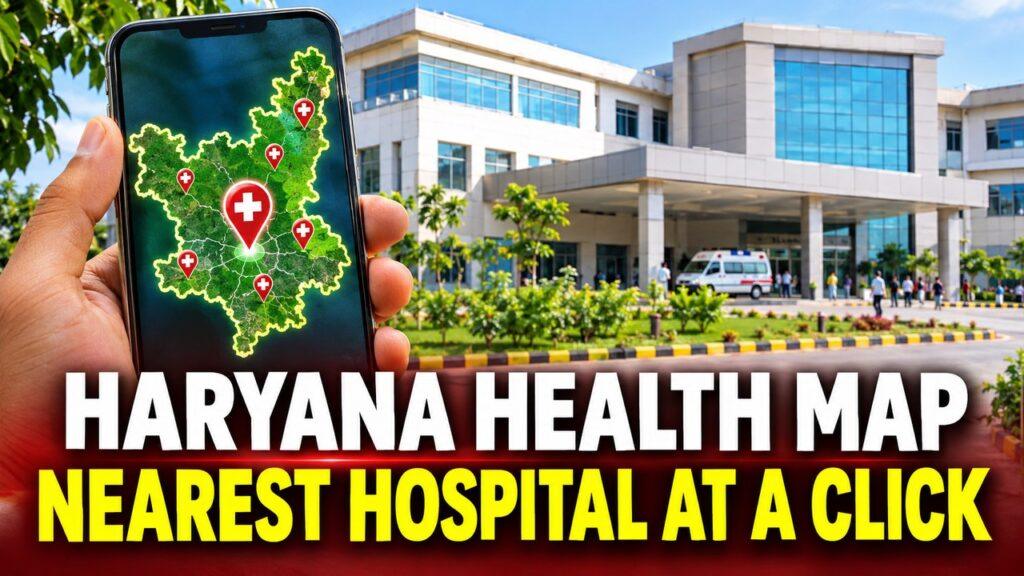
Haryana GIS Health Map: Find Nearest Government Hospital at a Click Soon
Haryana is set to bring its entire public healthcare network onto a single digital map, so that citizens will soon be able to find their nearest government hospital or health centre at a click. The state is rolling out a statewide Geographic Information System (GIS) project that puts every government healthcare institution on one common platform, replacing the fragmented departmental databases used until now.
The initiative brings together healthcare institutions working under three departments: Health, AYUSH, and Medical Education and Research. Instead of separate records held in different places, all of them will feed into one unified geospatial platform with a single digital interface for the public and the administration alike.
Additional Chief Secretary for Health and Family Welfare, Dr Sumita Misra, reviewed the progress of the exercise during a meeting on Sunday, where GIS mapping data of healthcare facilities across the state was presented. The review signals that the groundwork of mapping facilities is well under way and the platform is moving towards becoming operational for citizens.
Once live, the platform will show the geographical location of each facility along with its basic institutional details and photographs. It will cover hospitals, primary health centres, sub-health centres and AYUSH facilities, so that a person looking for care can identify the nearest suitable government facility without running from office to office for information.
Technical support for the project comes from the Haryana Space Applications Centre (HARSAC), which will help maintain the GIS database and make data sharing with other state departments easier. That shared base is meant to keep the information accurate and up to date as facilities open, upgrade or change services.
Beyond helping citizens, the unified map gives the administration a clear view of where infrastructure is strong and where gaps remain, in both urban and rural areas. Officials say the move marks a broader shift towards using geospatial technology not only to locate facilities but also as a tool for healthcare planning, governance and monitoring across Haryana.